![]()
Mon, June 29, 2026


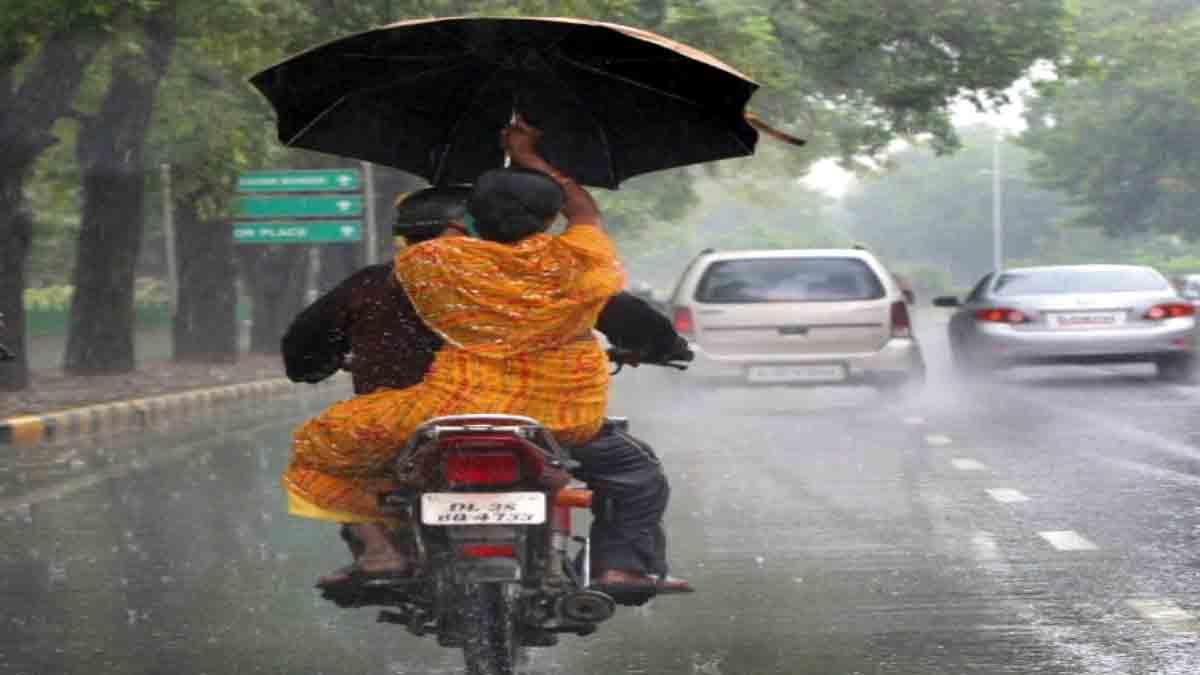
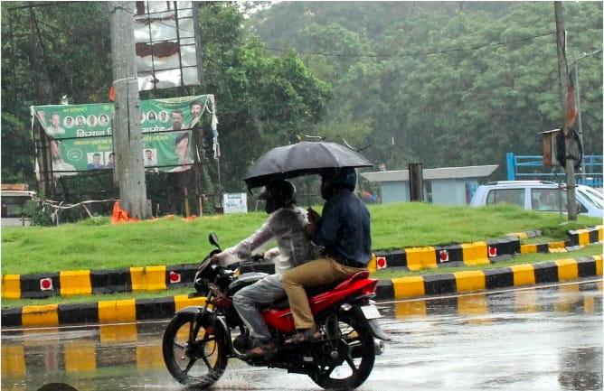
Jamshedpur: Jharkhand is staring at a severe rainfall crisis this monsoon season, with the state recording a staggering 62 per cent rainfall deficit between June 1 and June 28, according to the Meteorological Centre, Ranchi. Against the normal seasonal rainfall of 170.3 mm, the state has received only 65.5 mm, raising concerns for agriculture and water availability.
However, the India Meteorological Department (IMD) has forecast a significant improvement in weather conditions, stating that the southwest monsoon is likely to advance into the remaining parts of Jharkhand within the next two to three days, bringing widespread rain activity. The rainfall data reveals that almost every district has received substantially below-normal rainfall.
Garhwa is the worst affected with a 99 per cent deficit, receiving only 1.7 mm against its normal 117.5 mm, followed by Sahibganj with a 98 per cent deficit. Chatra (-90%), Palamu (-88%), Saraikela-Kharsawan (-83%), Koderma (-82%) and Lohardaga (-82%) are among the other districts witnessing extremely poor rainfall.
In Kolhan, East Singhbhum has recorded 76.2 mm rainfall against the normal 217 mm, reflecting a 65 per cent deficit, while West Singhbhum has received 63.2 mm against 183.4 mm, a shortfall of 66 per cent.
Meteorologists attribute the expected revival of monsoon activity to the persistence of several favourable weather systems. The seasonal trough at mean sea level continues to extend from Punjab to Bihar across Haryana and Uttar Pradesh.
Another trough stretches from northeast Madhya Pradesh to Telangana across Vidarbha at around 0.9 km above mean sea level, while an upper air cyclonic circulation has shifted from north Gujarat to Madhya Pradesh between 3.1 km and 5.8 km above mean sea level.
Additionally, a trough extending from north Coastal Andhra Pradesh to Madhya Maharashtra across Chhattisgarh and Marathwada at 4.5 km above mean sea level is expected to enhance rainfall over eastern India. As of June 28, the Northern Limit of Monsoon passes through 20°N/60°E, 20°N/65°E, 20°N/70°E, Surat, Indore, Mandla, Daltonganj, Motihari and 28.3°N/83°E.
According to weathermen conditions are favourable for the southwest monsoon to advance into the remaining parts of Jharkhand and Bihar during the next two to three days.
The weather office has also issued a multi-day forecast warning of thunderstorms, lightning and gusty winds reaching 40–50 kmph at isolated places across the state. On June 29, such conditions are expected mainly over the northwestern districts.
On June 30, thunderstorms are likely across Jharkhand, while isolated heavy rainfall is forecast over the northeastern and adjoining central districts, including Bokaro and Dhanbad. On July 1, heavy rain is expected over the northeastern, southern and central regions, covering East Singhbhum, West Singhbhum, Saraikela-Kharsawan, Bokaro, Dhanbad, Ramgarh, Ranchi and Khunti.
Thunderstorms accompanied by lightning and gusty winds are also likely to continue across the state on July 2 and July 3. The forecast is expected to bring much-needed relief to farmers and residents after an exceptionally dry June, though the IMD has advised people to remain cautious during thunderstorms and lightning and to follow official weather advisories.


| 14-09-2018 | ||||||
| Sl No. | Parameters | Actual Data(µg/m3) | Standard Limit(µg/m3) |
|---|---|---|---|
| 1 | PM 10 | 64 | 100 |
| 2 | PM 2.5 | 33 | 60 |
| 3 | SO2 | 55.3 | 80 |
| 4 | NO2 | 58.2 | 80 |
| 14-09-2018 | ||||||
| Station | Temperature(degree centigrade) | Rainfall(mm) | Relative humidity(%) | |||
|---|---|---|---|---|---|---|
| Max | Min | Past 24 hrs. | Since 1st March, 2018 | Max | Min | |
| Ranchi | 31.0 | 22.5 | 000.0 | 1010.1 | 95 | 66 |
| Jamshedpur | 34.1 | 26.2 | 000.0 | 1252.8 | 87 | 58 |
| Bokaro | 33.5 | 24.6 | 015.2 | 824.0 | 92 | 79 |
| Daltonganj | 32.6 | 24.9 | 004.2 | 960.9 | 95 | 67 |
© Copyright
Reporter Post.All Rights Reserved |
Powered by: Aptilogic Software |
 |
Page rendered in 0.0955 seconds.
|
Page rendered in 0.0955 seconds.