Wed, October 14, 2026

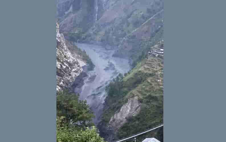
Photo: IANS
A massive landslide in Nepal's Gorkha district triggered destructive floods in the Budhi Gandaki River on October 11, releasing energy equivalent to that of a 3.5-magnitude earthquake, according to a preliminary assessment by the Department of Mines and Geology.
The landslide, involving snow, water and glacial debris, occurred in the upper reaches of the Ungdilung Khola, a tributary of the Budhi Gandaki River. The resulting debris repeatedly blocked and released river flows, generating successive flood surges downstream, the technical report said.
According to the National Disaster Risk Reduction and Management Authority (NDRRMA), at least five people remain missing following the disaster, which also destroyed or damaged hydropower infrastructure, roads and bridges.
The largest flood surge reached an estimated height of 20 to 25 metres, causing extensive destruction along the river. The incident occurred at around 4:20 a.m. in Chumnubri Rural Municipality, near the China border, between Chamar Himal and Syerangi Himal.
The report said an avalanche originated at an altitude of around 6,000 metres in the Tibetan Tethys Himalaya, where relatively weak rock formations are present. A landslide subsequently occurred at approximately 5,500 metres, sending a massive mixture of snow, water and debris down the Ungdilung Khola.
The debris accumulated at the narrow confluence of the Ungdilung Khola and Syar Khola, another tributary of the Budhi Gandaki River, at an altitude of around 2,000 metres. The resulting blockages and sudden releases of water and debris are believed to have produced repeated flood surges.
The first mud-laden surge reached the Salleri area at around 4:30 a.m., where a camp associated with the 341-MW Budhi Gandaki Hydroelectric Project was located. The largest surge arrived at approximately 6:30 a.m., reaching an estimated height of 20 to 25 metres and sweeping away the camp.
Downstream, the flood caused significant damage in the Jagat area, affecting several buildings and permanent bridges over the Soti Khola and Budhi Gandaki River.
The assessment suggested that the enormous volume of debris carried by the Ungdilung Khola contributed more to the largest surge than the water accumulated behind the blockage of the Syar Khola. Field observations indicated that the Syar Khola's flow had stopped about an hour before the biggest surge arrived, with water accumulating over a stretch of approximately 1.5 km.
Smaller flood surges continued even after the largest wave had passed, highlighting the dangers posed by repeated blockages and sudden releases in steep Himalayan river systems.
The disaster occurred around six weeks after major floods struck Nepal's Bhote Koshi and Trishuli rivers on August 26. The NDRRMA cited the earlier disaster as having caused extensive damage to communities, homes, hydropower plants, roads and bridges.



© Copyright
Reporter Post.All Rights Reserved |
Powered by: Aptilogic Software |
 |
Page rendered in 0.0117 seconds.
|
Page rendered in 0.0117 seconds.