Mon, October 12, 2026


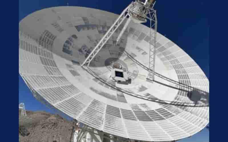
Representational Pic
NASA on Saturday successfully launched its Ice, Cloud and Land Elevation Satellite-2 (ICESat-2), a mission designed to provide detailed measurements of changes in Earth’s ice sheets, glaciers, sea ice, snow cover and permafrost.
The satellite lifted off at 9:02 a.m. EDT on September 15 aboard a Delta II rocket from Space Launch Complex-2 at Vandenberg Air Force Base in California. The mission is planned to operate for three years and will provide scientists with high-precision data on the changing state of the planet’s frozen regions.
The launch also marked the final flight of the Delta II rocket, which had been in service since 1989. According to NASA, the rocket completed 154 launches, carrying payloads for the US space agency, the US military and commercial customers.
“Today was the Delta II’s final launch,” NASA said in a social media post, highlighting the historic conclusion of the rocket’s long operational career.
The mission also carried two small ELFIN CubeSats. These miniature satellites will study how energetic electrons travel from space into Earth's atmosphere, adding a separate scientific component to the launch.
At the heart of ICESat-2 is NASA’s advanced laser instrument, the Advanced Topographic Laser Altimeter System (ATLAS). The instrument determines the height of Earth's surface by precisely measuring the time taken by individual photons of laser light to travel from the satellite to Earth and back.
This highly accurate measurement system will allow researchers to monitor even small changes in the elevation of ice and snow over time. The data is expected to improve understanding of how glaciers and ice sheets are responding to changing environmental conditions.
NASA said the observations will be particularly important for studying how changes in polar ice, glaciers and sea ice affect people and communities around the world, including through their impact on sea levels and climate patterns.
The satellite is designed to follow 1,387 unique ground tracks around Earth over a 91-day period before repeating the same pattern. This repeated coverage will enable scientists to compare measurements over time and build a detailed picture of changes across the planet's frozen regions.
The launch came after weather officials confirmed favourable conditions. Lt. Daniel Smith, a launch weather officer, said the forecast remained 100 per cent “go” with all launch constraints satisfied.
With its advanced laser technology and precise orbital measurements, ICESat-2 is expected to provide scientists with a more detailed understanding of how Earth's ice-covered regions are changing and what those changes could mean for the planet.



© Copyright
Reporter Post.All Rights Reserved |
Powered by: Aptilogic Software |
 |
Page rendered in 0.0122 seconds.
|
Page rendered in 0.0122 seconds.