Wed, August 19, 2026

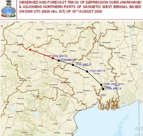
Photo: Reporter Post
Weather conditions have turned active across eastern and central India under the influence of a cyclonic circulation over the Bay of Bengal and a low-pressure area near the northern Odisha coast. The India Meteorological Department (IMD) has forecast heavy to very heavy rainfall, thunderstorms and strong winds in several parts of the region over the next 24 hours.
According to the weather department, a cyclonic circulation remains active over areas adjoining West Bengal and Jharkhand, while another upper-air cyclonic circulation is present over parts of eastern Uttar Pradesh. These systems are likely to trigger spells of heavy rain accompanied by thunderstorms and gusty winds.
In some areas, wind speeds could reach 50 to 60 kmph during thunderstorms. The combination of heavy rain, strong winds and lightning may create difficult conditions for commuters and could disrupt normal activities in vulnerable areas.
Jharkhand likely to see active weather on August 19 and 20
Jharkhand is expected to experience particularly active weather on August 19 and 20. Heavy rainfall and thunderstorms have been forecast in Ranchi, Bokaro, Deoghar, Dumka, Dhanbad, Jamshedpur, Simdega, Hazaribagh, Ramgarh, Khunti, Chatra and Palamu.
The possibility of lightning makes the weather situation more concerning. Residents are advised to avoid open areas, isolated trees and other exposed locations during thunderstorms. People should also exercise caution while travelling, particularly during periods of intense rain and strong winds.
Several other states may also receive heavy rain
The impact of the prevailing weather systems is not expected to remain confined to Jharkhand and neighbouring states. The IMD has also forecast rain and thunderstorms in Bihar, West Bengal, Uttar Pradesh, Delhi, Haryana, Rajasthan, Punjab, Himachal Pradesh, Jammu and Kashmir, Odisha, Madhya Pradesh, Chhattisgarh, Gujarat, Maharashtra, Assam, Uttarakhand, Sikkim, Meghalaya, Tripura, Kerala, Tamil Nadu and Telangana.
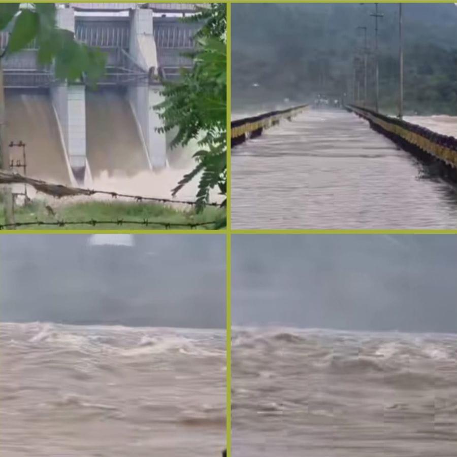
Heavy rainfall may lead to temporary waterlogging in low-lying areas and affect road traffic in places that receive intense showers. Localised disruptions to rail and other transport services are also possible.
With multiple weather systems influencing different parts of the country, residents in areas under rain and thunderstorm alerts are advised to keep track of the latest IMD updates and avoid unnecessary travel during severe weather.



© Copyright
Reporter Post.All Rights Reserved |
Powered by: Aptilogic Software |
 |
Page rendered in 0.0945 seconds.
|
Page rendered in 0.0945 seconds.