![]()
Mon, June 15, 2026


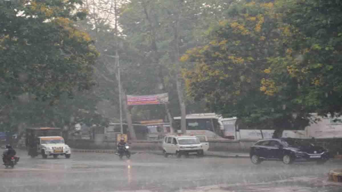
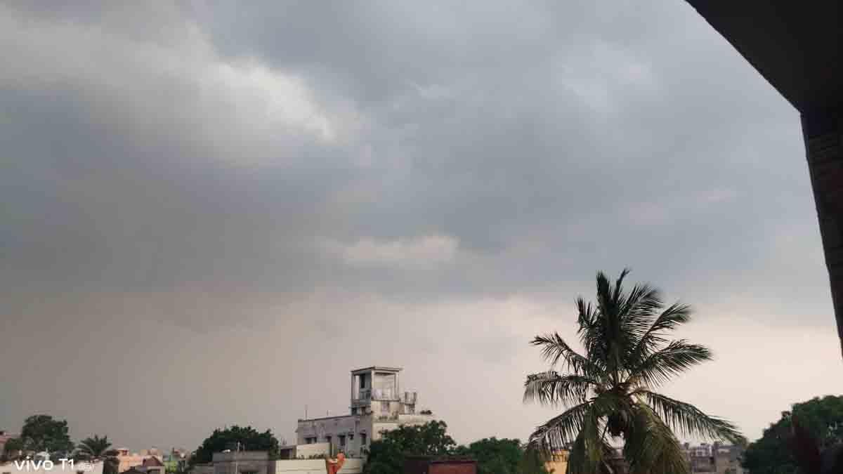
Jamshedpur: Although the Southwest Monsoon has made a timely entry into Jharkhand and continues to advance across the state, rainfall activity has remained far below expectations, leaving Jharkhand with a substantial 47 per cent precipitation deficit during the first half of June.
Data released by the Meteorological Centre, Ranchi, shows that the state received only 29.4 mm of rainfall between June 1 and June 15 against the normal average of 55.6 mm. The shortfall highlights the uneven nature of monsoon rainfall this season, with large parts of the state yet to receive widespread and sustained showers.
The deficit is particularly severe in several districts. Chatra and Garhwa have reported no rainfall at all, resulting in a 100 per cent deficiency. Sahibganj recorded a 96 per cent shortfall, while Palamu remained 95 per cent below normal.
Lohardaga registered a deficit of 91 per cent, underscoring the weak monsoon performance across north-western and central Jharkhand.Other districts facing significant rainfall shortages include Saraikela-Kharsawan (78%), Khunti (76%), Deoghar (68%), Godda (68%) and Gumla (67%).
In the Kolhan region, East Singhbhum received 38.2 mm rainfall against a normal 78 mm, recording a 51 per cent deficit. West Singhbhum posted a similar shortfall, while Bokaro and Hazaribagh also remained more than 50 per cent below normal.
Amid the gloomy statistics, Ranchi emerged as a notable exception. The state capital received 86.4 mm rainfall against the normal 57.3 mm, registering a healthy surplus of 51 per cent.
Ramgarh also fared comparatively better, recording only an 11 per cent deficit. Meanwhile, the India Meteorological Department (IMD) reported further advancement of the Southwest Monsoon on June 15 into remaining parts of Andhra Pradesh, West Bengal and the west-central Bay of Bengal, besides covering additional areas of Telangana, Odisha, Jharkhand and Bihar.
Weather experts indicate that atmospheric conditions remain favourable for further monsoon progress across eastern and central India during the coming days.The weather office has forecast thunderstorms accompanied by lightning and gusty winds of 40-50 kmph at isolated places across Jharkhand until June 19.
Such activity is expected to affect most parts of the state on June 15 and 16, while southern and adjoining central districts may witness stronger weather systems on June 17. Thunderstorm activity is likely to intensify again across the state on June 18 and 19. Agricultural stakeholders are watching developments closely as June is a crucial period for paddy nursery preparation and early kharif sowing.
Delayed or inadequate rainfall can affect soil moisture, slow transplantation activities and increase dependence on irrigation resources. However, meteorologists believe that a fresh monsoon surge over the Bay of Bengal and the forecast thunderstorm activity could improve rainfall distribution and help narrow the deficit in the coming weeks.
Despite the monsoon's steady advance, the state's rainfall performance remains a concern. With nearly half of the normal precipitation still missing during the opening fortnight of the season, the coming days will be critical for agriculture, water resources and overall monsoon recovery across Jharkhand.


| 14-09-2018 | ||||||
| Sl No. | Parameters | Actual Data(µg/m3) | Standard Limit(µg/m3) |
|---|---|---|---|
| 1 | PM 10 | 64 | 100 |
| 2 | PM 2.5 | 33 | 60 |
| 3 | SO2 | 55.3 | 80 |
| 4 | NO2 | 58.2 | 80 |
| 14-09-2018 | ||||||
| Station | Temperature(degree centigrade) | Rainfall(mm) | Relative humidity(%) | |||
|---|---|---|---|---|---|---|
| Max | Min | Past 24 hrs. | Since 1st March, 2018 | Max | Min | |
| Ranchi | 31.0 | 22.5 | 000.0 | 1010.1 | 95 | 66 |
| Jamshedpur | 34.1 | 26.2 | 000.0 | 1252.8 | 87 | 58 |
| Bokaro | 33.5 | 24.6 | 015.2 | 824.0 | 92 | 79 |
| Daltonganj | 32.6 | 24.9 | 004.2 | 960.9 | 95 | 67 |
© Copyright
Reporter Post.All Rights Reserved |
Powered by: Aptilogic Software |
 |
Page rendered in 0.0622 seconds.
|
Page rendered in 0.0622 seconds.