Wed, July 08, 2026


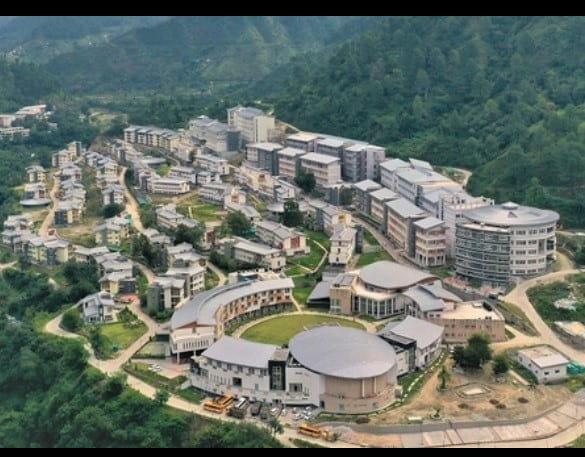
New Delhi- Scientists at the Indian Institute of Technology (IIT) Mandi have developed a fully operational Landslide Early Warning System (LEWS) for the Indian Himalayan Region (IHR), offering daily forecasts of landslide risks during the monsoon through a web-based platform to strengthen disaster preparedness.
The Indian Himalayan Region is one of the country's most landslide-prone areas, and changing climate patterns have increased the frequency of slope failures, leading to significant loss of lives and property.
The project was led by Prof. Dericks Praise Shukla of IIT Mandi's School of Civil and Environmental Engineering, along with research scholars Ankit Singh and Nitesh Dhiman.
The warning system assesses the likelihood of landslides by combining terrain susceptibility data with real-time rainfall information. It generates location-specific alerts that can help authorities and disaster management agencies take timely preventive action.

Explaining the initiative, Prof. Shukla said the platform provides daily landslide forecasts from the start of the monsoon season, allowing authorities to identify vulnerable areas in advance and carry out evacuations and preparedness measures where required.
He said satellite-based early warning systems are among the most effective tools for reducing disaster risks because they transform scientific data into timely and actionable information. A region-wide forecasting platform, he added, can significantly improve preparedness, emergency response and coordination among disaster management agencies during periods of heightened landslide risk.
Unlike many existing landslide warning systems in India that are confined to smaller regions, IIT Mandi's LEWS covers the entire Indian Himalayan Region, making it one of the country's largest operational landslide forecasting systems.
To build the platform, researchers analysed nearly 26,000 historical landslides from the Geological Survey of India (GSI) database to create a landslide susceptibility map. They then combined multiple landslide-triggering factors using ensemble machine learning models.
The team also developed the Probability of Rainfall-Induced Landslides (P-RIL) model using data from NASA's Global Landslide Catalogue and seven rainfall parameters derived from IMERG satellite datasets. Since rainfall patterns change constantly, the model dynamically analyses rainfall recorded over the previous 15 days to generate daily forecasts.
With inputs from IANS




| 14-09-2018 | ||||||
| Sl No. | Parameters | Actual Data(µg/m3) | Standard Limit(µg/m3) |
|---|---|---|---|
| 1 | PM 10 | 64 | 100 |
| 2 | PM 2.5 | 33 | 60 |
| 3 | SO2 | 55.3 | 80 |
| 4 | NO2 | 58.2 | 80 |
| 14-09-2018 | ||||||
| Station | Temperature(degree centigrade) | Rainfall(mm) | Relative humidity(%) | |||
|---|---|---|---|---|---|---|
| Max | Min | Past 24 hrs. | Since 1st March, 2018 | Max | Min | |
| Ranchi | 31.0 | 22.5 | 000.0 | 1010.1 | 95 | 66 |
| Jamshedpur | 34.1 | 26.2 | 000.0 | 1252.8 | 87 | 58 |
| Bokaro | 33.5 | 24.6 | 015.2 | 824.0 | 92 | 79 |
| Daltonganj | 32.6 | 24.9 | 004.2 | 960.9 | 95 | 67 |
© Copyright
Reporter Post.All Rights Reserved |
Powered by: Aptilogic Software |
 |
Page rendered in 0.1073 seconds.
|
Page rendered in 0.1073 seconds.